GIS and Mapping Tools
Harvard-hosted, open source software for creating your own GIS maps and sharing it with others. WorldMap was developed to lower barriers for scholars, and attempts to address the gap between desktop GIS which is generally light on collaboration, and web-based mapping systems that may not support the inclusion of large datasets.
Free and open source GIS software. It runs on Linux, Unix, Mac OSX, Windows and Android and supports numerous vector, raster, and database formats and functionalities. An introductory workshop and videos tutorials are offered by Lex Berman, who developed and managed numerous East Asian data projects, such as Japan Map.
A cloud-based, commercial GIS software. Maps can be created and then viewed in a browser, desktop, or mobile device, as well as shared and embedded in multiple formats. The full ArcGIS suite is available to all Harvard Affiliates from the Center for Geographic Analysis.
Carto is a cloud-computing platform that provides GIS and web-based mapping for building custom visualizations in a web browser. It has a low barrier of entry that enables non developers and beginners to both access and use advanced geospatial tools. Carto is available to Harvard affiliates through the Center for Geographic Analysis.
Neatline is an add-on tool for the Omeka web-publishing platform that accommodates map-based storytelling. Visual materials and collections of records can be presented in a digital map-making environment as part of a larger interactive exhibit for use by scholars, archivists, and students. Both tutorials and access to this service is available to the Harvard community.
A project sponsored by the National Institute of Informatics that integrates Japanese geographic information science (GIS) and natural language processing (NLP) to develop a geo-tagging system that transforms text to maps automatically. (Japanese only)
Although HuTime can perform temporal information analysis like GIS, it is primarily a time information software application that can help users visualize and analyze temporal information. Although temporal and spatial information are closely related, HuTime cannot display maps, and instead allows users to display various types of data on the same temporal axis in order to create chronological tables and time series charts.
StatSilk develops software for creating user-friendly interactive maps with desktop, web-based and mobile apps options available. This page provides maps for downloading, instructions for creating various maps using QGIS, and free shapefile map tools.
Asanobu Kitamoto, CODH
Includes a dataset showing the historical administrative boundary changes since 1920.
Featured Project

Featured Maps and Data

____________________________
Chronology of Japan Disasters This tool was developed by the NIED (National Institute for Earth Science and Disaster Resilience) in Japan in 2016. It allows a user to view the location, a variety of disaster types, and the year of the event starting from 416 to the present.
____________________________
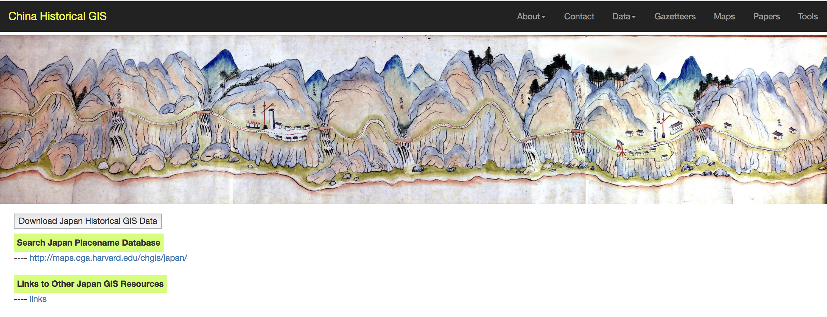
China Historial GIS (Japan maps) Launched through Harvard and includes a searchable index of historical Japanese Place Names and links to more than a dozen GIS resources and maps in Japan.